


3D LASER SCANNING IN CYPRUS - SCAN TO BIM AS-BUILT & POINT CLOUD
BLUEBEAM is the first 3D laser scanning service in Cyprus. We turn real-world sites into accurate 3D models, point clouds and drawings. Residential complexes, hotels, warehouses and cultural heritage - we digitize everything in Limassol, Nicosia, Paphos and Larnaca.
- Revit / ArchiCAD BIM models: design and coordinate in real-world coordinates
- AutoCAD measurements & drawings: plans, sections, elevations for construction and renovation
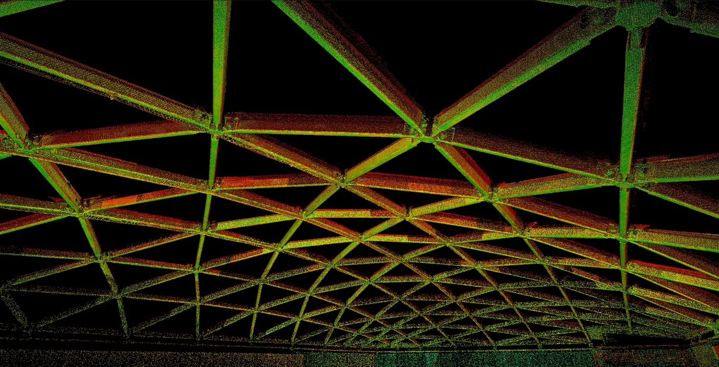
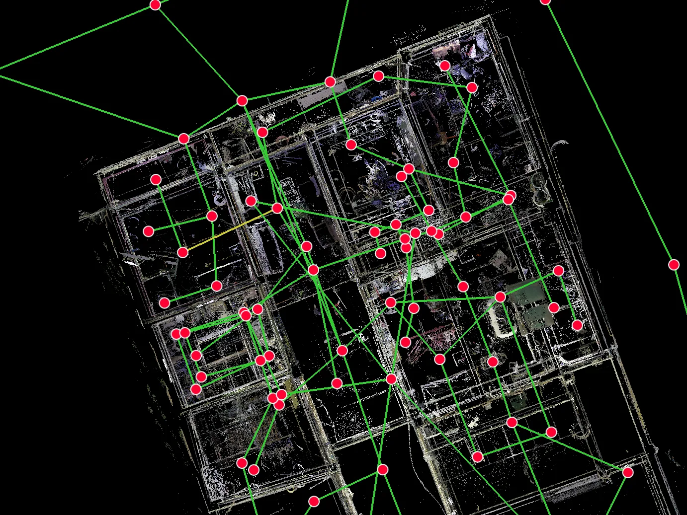
- Point cloud .e57 / .rcp: complete site geometry in a single file
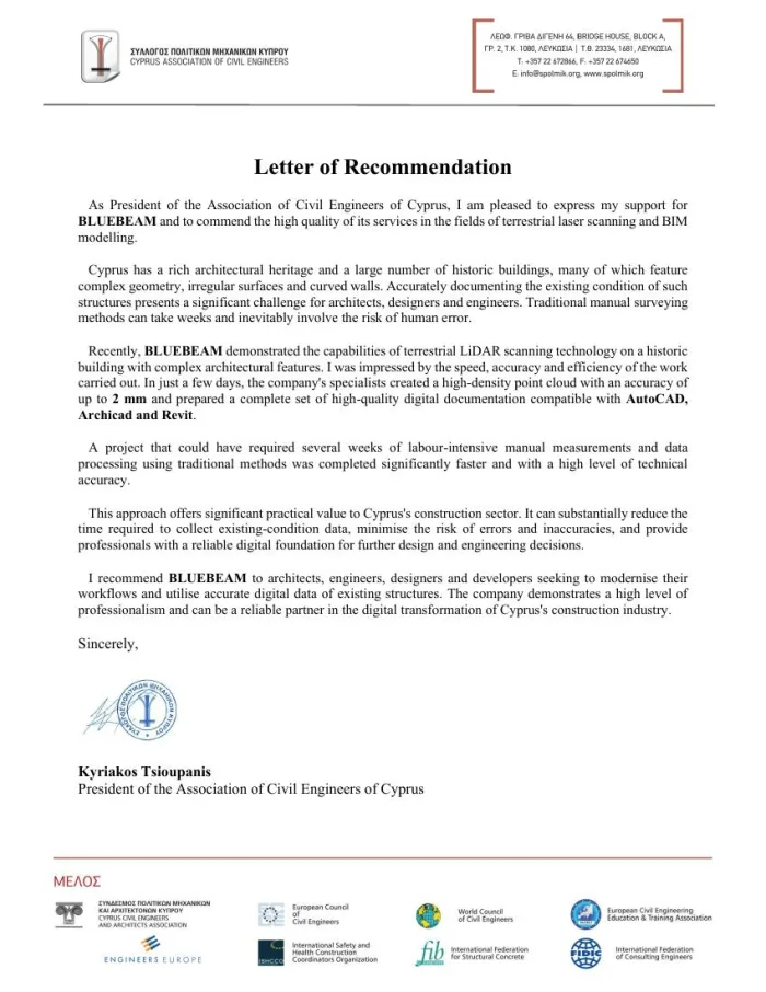 Open the letter
Letter of recommendation from the Cyprus Association of Civil Engineers
Our terrestrial laser scanning and BIM modelling work has been formally recognised by the Cyprus Association of Civil Engineers. Read the full letter below.
“I recommend BLUEBEAM to architects, engineers, designers and developers seeking to modernise their workflows and utilise accurate digital data of existing structures.”Open the letter
Professional 3D scanning with 2 mm accuracy
WHAT YOU RECEIVE FROM A 3D SCAN
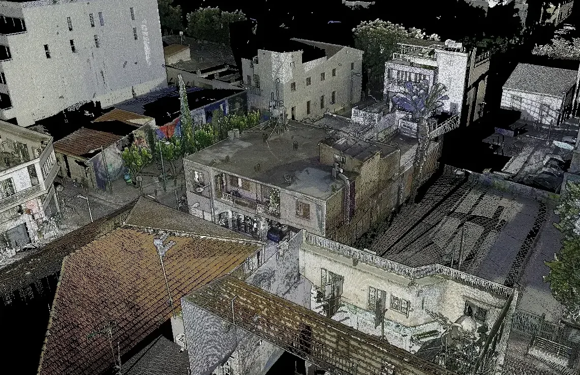
INTERACTIVE 3D MODEL
Browser-based digital twin of your property - share with clients and teams, no software required.
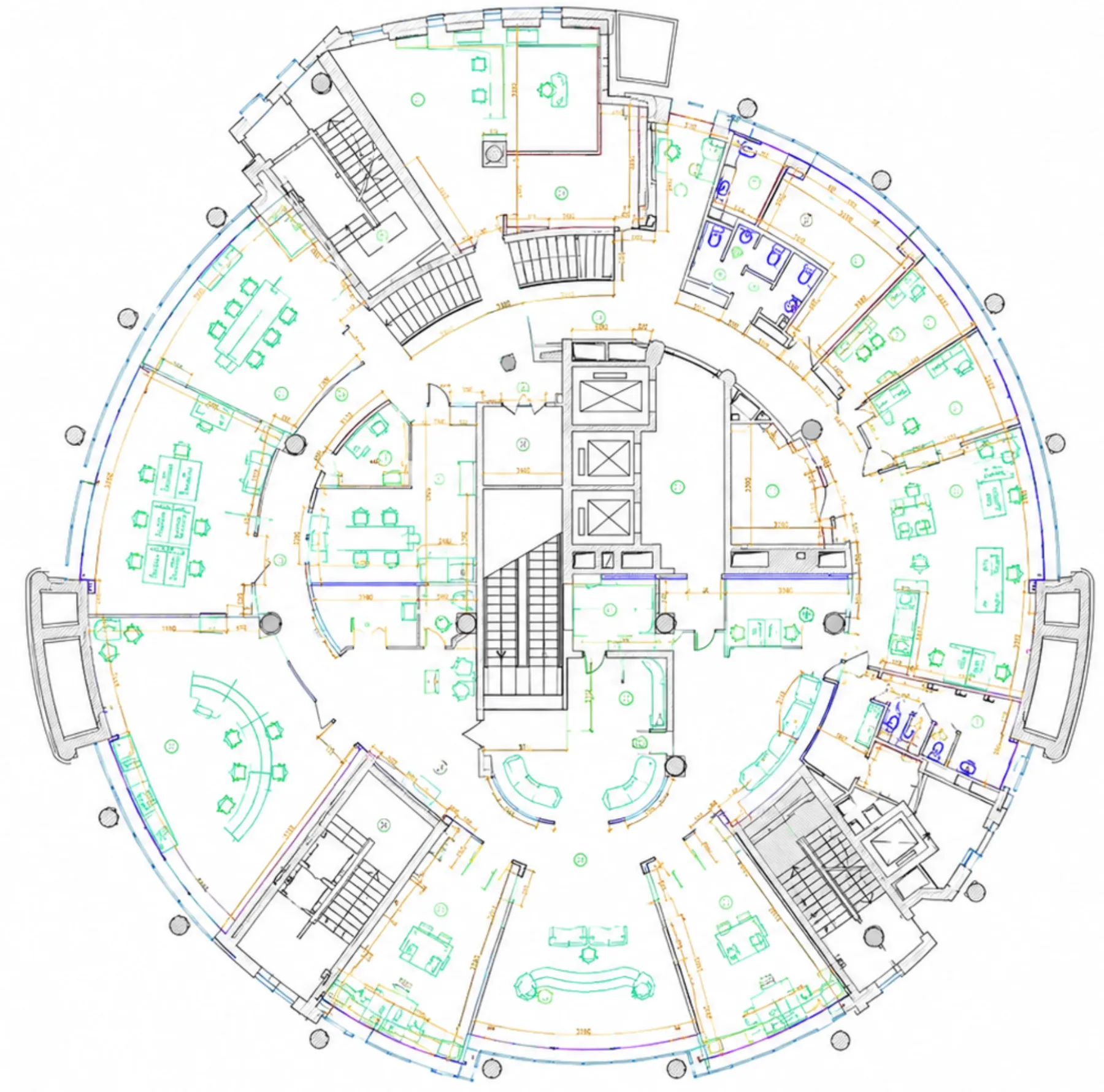
AS-BUILT DRAWINGS
Accurate 2D AutoCAD plans, elevations and sections from real on-site geometry.
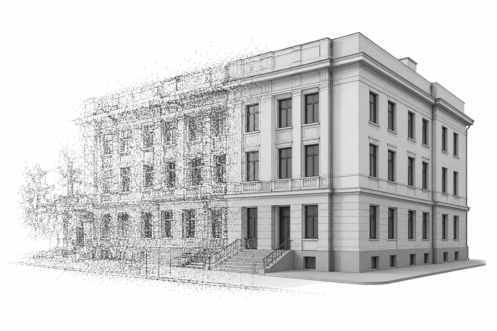
SCAN TO BIM MODEL
BIM-ready Revit & ArchiCAD models, LOD 200-300, with architectural, structural and MEP elements.
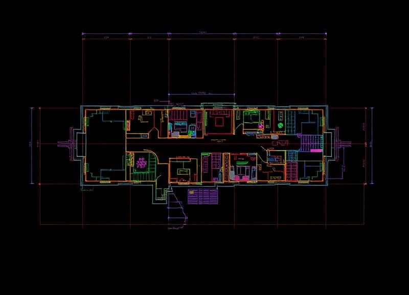
CAD FILES & IFC
DWG, DXF and IFC exports compatible with any architectural or engineering workflow.
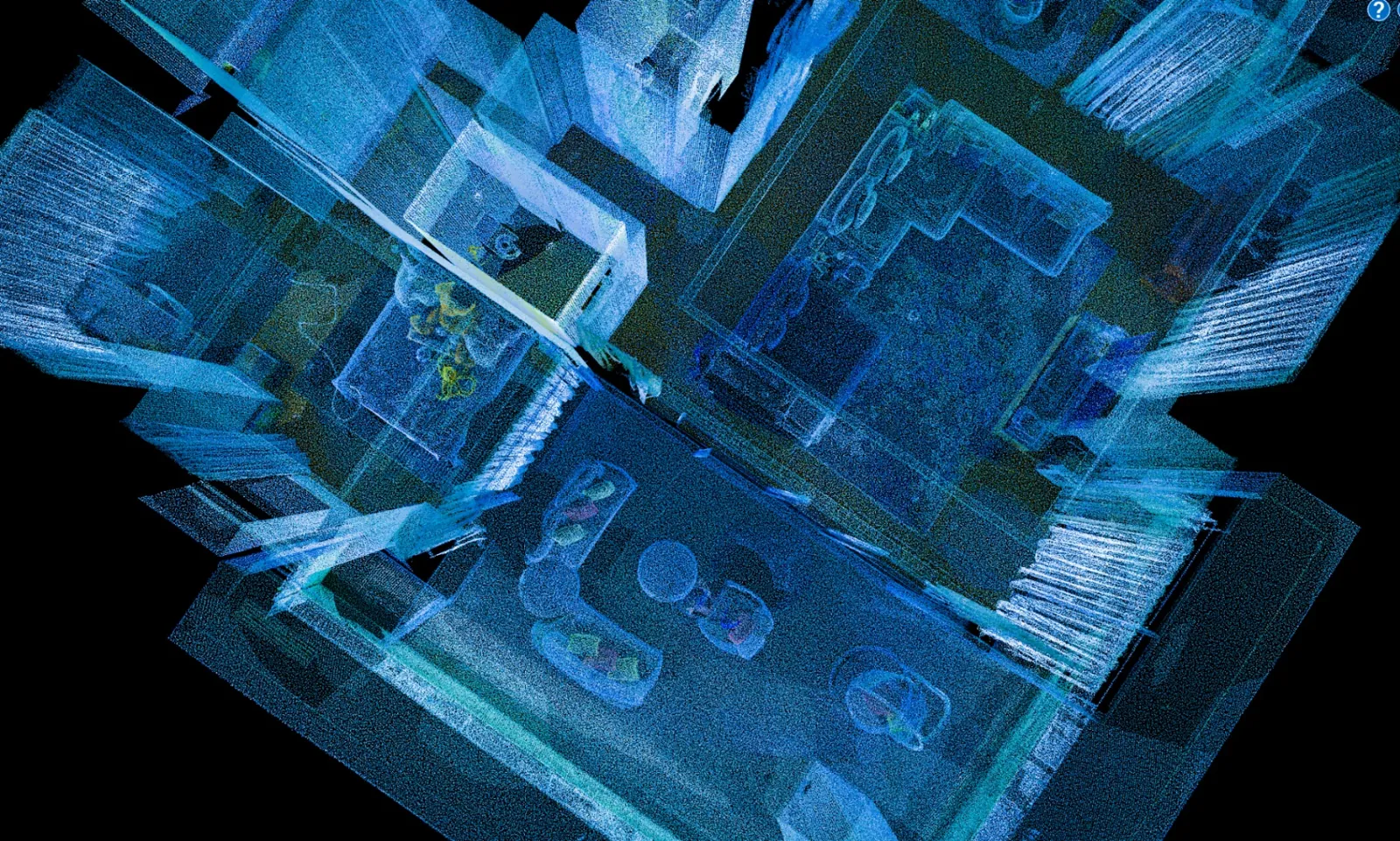
REGISTERED POINT CLOUD
Cleaned and registered point cloud in .e57, .rcp, .rcs or .las - ready for Revit, Recap and CloudCompare.
TECHNICAL DOCUMENTATION
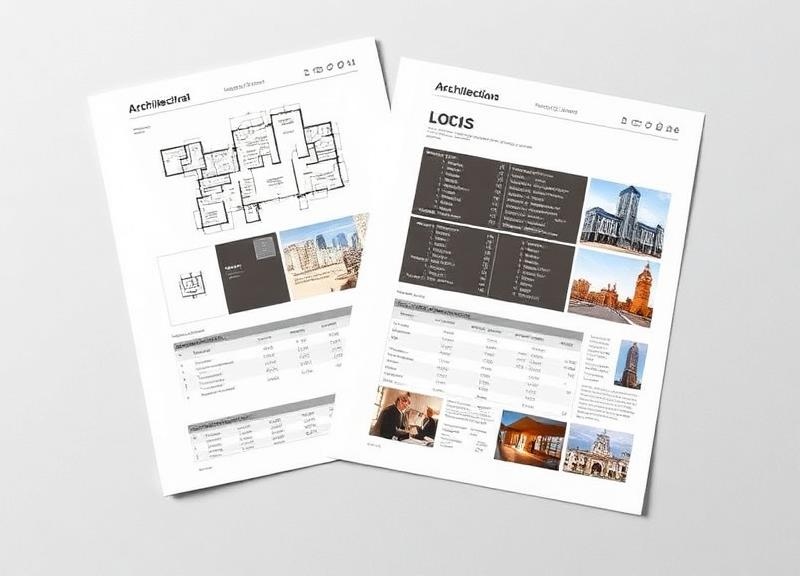
PDF reports, area & volume calculations, photogrammetry orthophotos and as-built records.
Still spending time on manual measurements?
It's a labor-intensive process that leads to errors due to human factors.
Laser scanning provides a complete digital record of the object in a single visit - ready for design, author supervision and as-built comparison with the project.
- Slow process, constant site visits for measurements
- Accumulated measurement errors
- Missing dimensions and hidden geometry
- Difficulty capturing curved and complex shapes
- Complete model with millimeter accuracy
- One visit - all geometry captured
- Accurate capture of curves and complex shapes
- Ready Revit / ArchiCAD / AutoCAD files
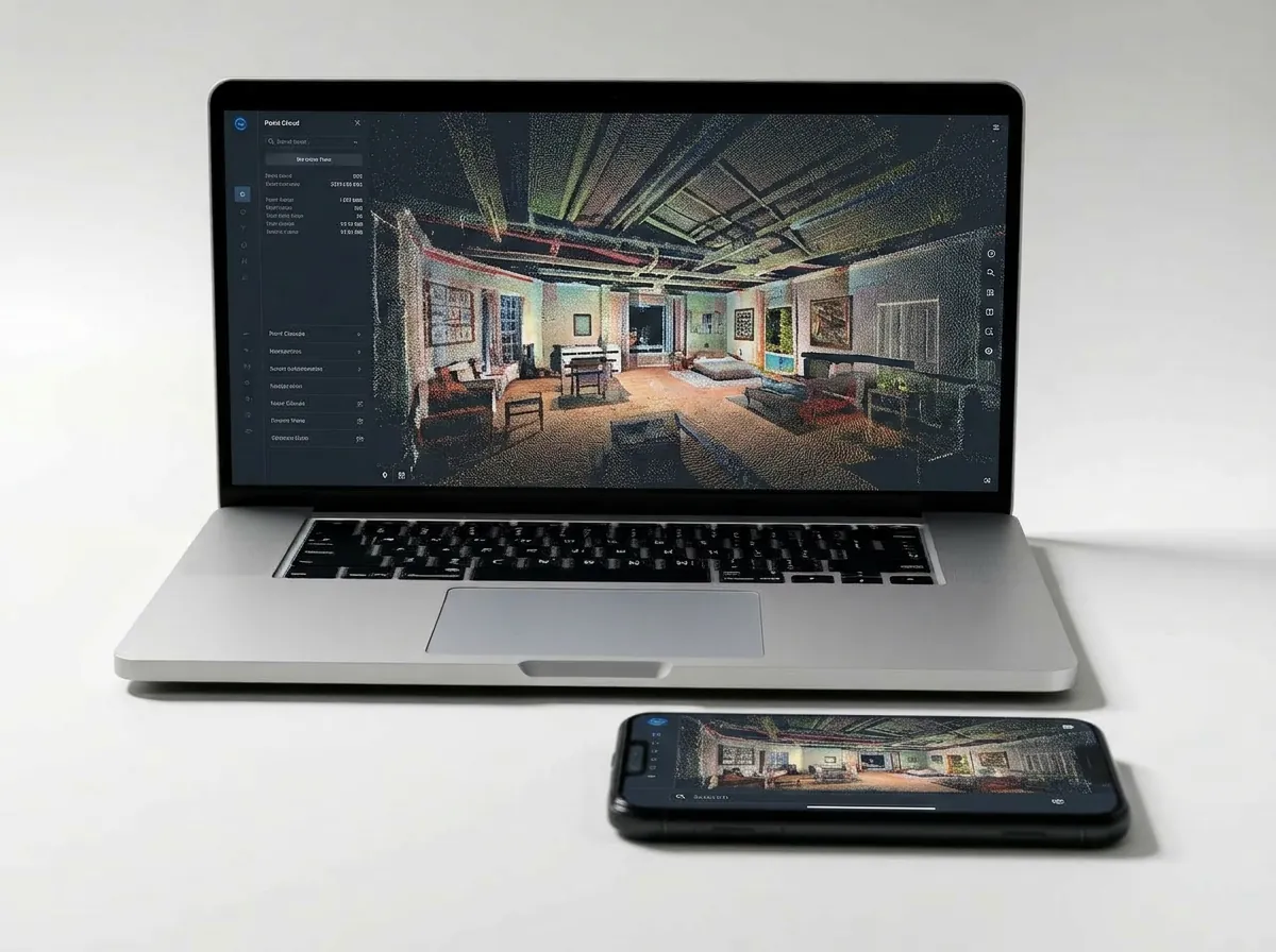
EXPLORE YOUR PROPERTY REMOTELY - DIGITAL TWIN IN THE BROWSER
Share an interactive 3D digital twin of your building with clients, contractors and remote design teams.
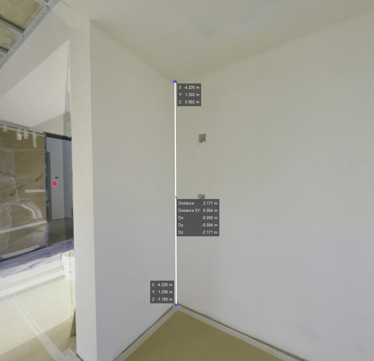
Take measurements, walk through the space and review as-built conditions - directly from a web browser.
- Browser-based 3D viewer
- Works on desktop and mobile
- Real measurements inside the model
- Fast secure sharing with clients
- Remote walkthroughs & site supervision
Built-in measurement tools
FROM 3D SCAN TO BIM
1. LASER SCANNING
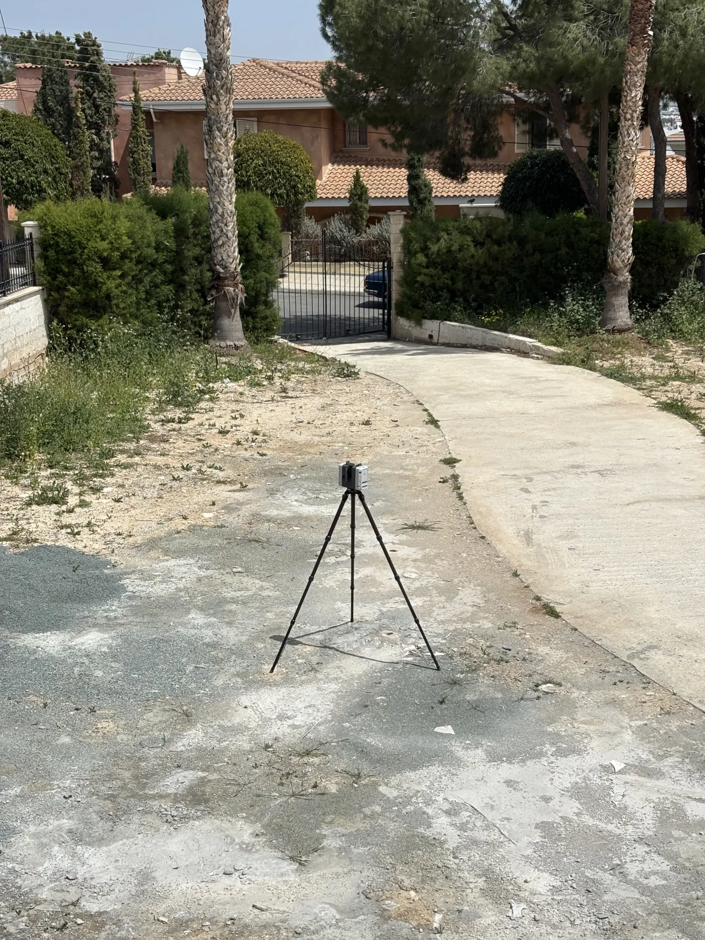
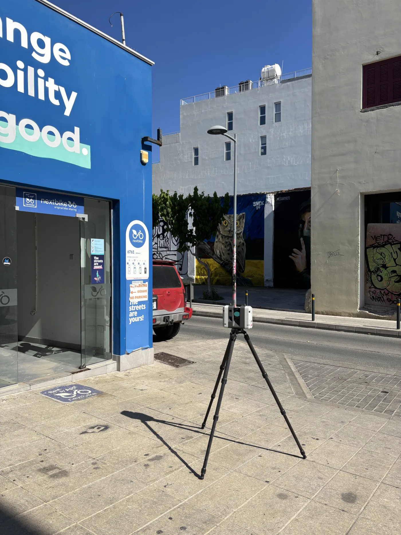
High-precision FARO / Leica laser capture of the existing building or site.
2. POINT CLOUD PROCESSING
Registration, cleaning and alignment of the point cloud (.e57, .rcp).
3. SCAN TO BIM MODELING
Revit / ArchiCAD modeling at LOD 200-300 - architecture, structure, MEP.
4. DELIVERY
BIM, DWG, IFC, PDF and browser-viewable model ready for your team.
Output formats and software compatibility — which point cloud, BIM and CAD file formats work with which programs.


3D SCANNING PERFECT FOR
Architecture & Construction
- Scan-to-BIM modeling
- As-Built documentation
- Construction supervision & monitoring
- Renovation & refurbishment
- Facades & complex architecture
Engineering & Industry
- MEP systems and utilities
- Industrial facilities & plants
- Oil, gas & energy assets
- Structural deformation control
- Facility Management
Reverse Engineering & Manufacturing
- Recovery of lost drawings
- Models for CNC and 3D printing
- Geometry & quality control
- CAD/CAM model creation
Infrastructure & Transport
- Bridges & infrastructure
- Tunnels & underground works
- Shipbuilding & transport
- Topography & geodesy
Digital Twin & BIM technologies
- Digital Twin creation
- BIM coordination & analysis
- Real-time asset monitoring
- Revit / IFC / CAD integration
Heritage & Complex Objects
- Historical and heritage sites
- Archaeology & cultural heritage
- Complex geometric structures
- Unique architectural elements
REVERSE ENGINEERING AND DIGITAL TWIN SERVICES
We rebuild missing technical documentation from real geometry - for industrial equipment, MEP systems, structural elements and historical buildings. The result is a precise digital twin, complete as-built drawings and BIM model compliant with international and ESKD standards.
- Restoration of lost as-built drawings
- Reverse engineering of industrial parts & MEP
- Historical & heritage building documentation
- Digital twin for facility management
- ESKD-compliant technical drawings on request
FREQUENTLY ASKED QUESTIONS - 3D SCANNING IN CYPRUS
OUR WORK
Recent 3D scanning, BIM and as-built projects delivered for clients across Cyprus.
VIEW FULL PORTFOLIO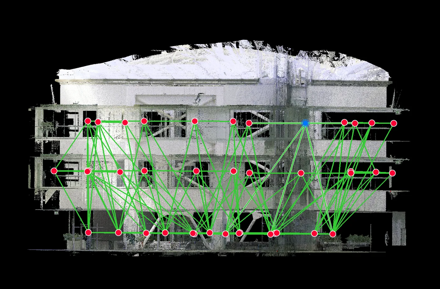
NEED A 3D SCAN OR SCAN TO BIM IN CYPRUS?
Request a quote and receive a complete proposal with timeline and deliverables within 24 hours.